The following are examples of some of the web mapping sites that we have developed.
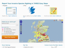
RAFTS Biosecurity and Invasive Species Programme
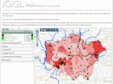
Greenspace Information for Greater London
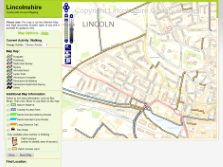
Lincolnshire Countryside Access Mapping
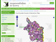
Monmouthshire CAMS Web
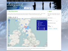
Angling Diary
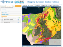
Mapping European Seabed Habitats (MESH)

Exmoor's Past
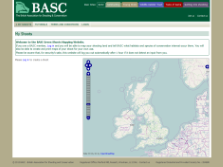
BASC Green Shoots
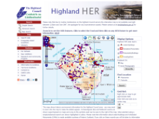
Highland HER On-line
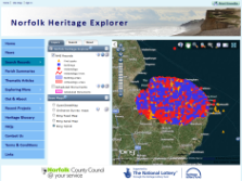
Norfolk Heritage Explorer
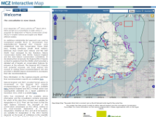
Marine Conservation Zones Interactive Map