Whilst HBSMR provides a proven, comprehensive, Historic Environment Record information management tool with integrated GIS, there will always remain the need for one-off, custom databases to meet specific project or research requirements. We have successfully developed many systems for recording and managing complex heritage datasets for a wide range of commercial, public sector and academic organisations. Solutions may include GIS, LiDAR, image cataloguing and linking, website development, social media integration and cutting-edge app development for tablets, smartphones and other handheld devices.
An example:


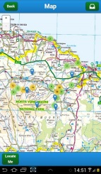
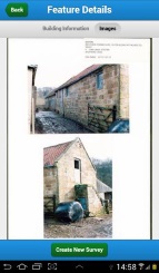
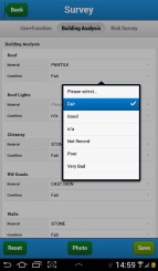
Smartphone/tablet app for volunteer Buildings at Risk surveys for the North York Moors NPA. The solution included the survey app, a web service API, and integration with an in-house HER database...


... all delivered in five weeks from design to deployment!