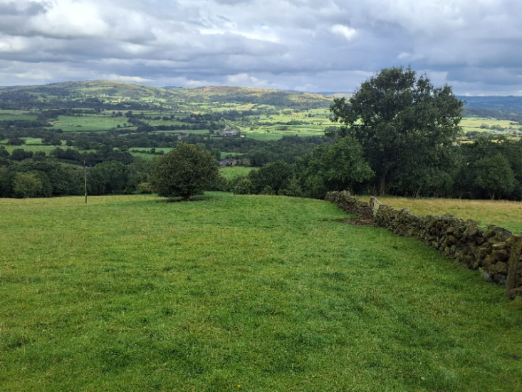
Exegesis won a competitive tender to complete an audit of the Staffordshire Way and 12 associated circular walks. The information from the audit would feed into Staffordshire County Council's plans for managing and promoting these routes. In addition to approximately 300km of field survey, this project required gradient analysis, identification of facilities of interest near the route and an assessment of the road crossings and road sections along the routes.
We worked with Staffordshire County Council to agree the standards for the survey and produce the survey manual, and after an on-site Pilot to confirm the standards, the fieldwork began in earnest. The survey ran from their live CAMS solution, so all the data collected immediately went back into their live CAMS and was instantly available to officers. While the surveyors were collecting data and photographs in the field, Exegesis consultants in the office worked on other areas of the project. We completed a GIS exercise to calculate the gradients along the route by intersecting the route with the 5m contour data, and used this information to identify the maximum gradient along each of the link sections. We also identified useful facilities on or near the route (such as car parks, EV chargers, accommodation providers and public conveniences) by buffering the route and intersecting this with the OpenStreetMap data.
A number of issues were identified during the survey, and for each of these we identified suitable next steps for mitigating or resolving these issues. Each of these actions had cost estimates associated with them, allowing us to produce a costed summary of the work required to resolve these issues. By classifying each of the issues by their effect on the user, and giving each a priority, we were able to break the cost down by the priority of the issues, as well as by those on the circular walks compared to the Staffordshire Way itself. A new form of analysis which we undertook was to give each issue a score based on the impact it had on the user and to total these scores for each link on the Staffordshire Way and associated walks. What this showed was that while some links were impacted by one serious issue, others had a larger number of smaller issues whose cumulative effect was just as significant.
After the fieldwork was completed, we collated the data from the analyses and the survey to provide useful reports for Staffordshire Council. A key area of interest was around accessibility, and being able to provide potential visitors with the information about where potential barriers were. The gradient analysis was obviously a key part of this, and we used this information alongside the data from the fieldwork about stiles, steps and similar items of furniture to show areas where accessibility could best be improved, as well as maps showing gradients and barriers. In addition, we produced atlases of the road crossings and sections of the route that followed roads, with photos, comments from the surveyor, details of any specific problems, and assessment of the provision and visibility.
All the information was loaded into Staffordshire's CAMS solution, where it is easily searchable and updatable by Staffordshire's public rights of way team.
Further information from Timothy Derbyshire