In early 2023, Calderdale Council were looking to re-energise their Rights of Way management. Exegesis were comissioned to help in two ways: by carrying out a complete survey of the rights of way network, and by providing our new CAMS Pro software solution. Having captured all the data on survey, Exegesis loaded all the information into the new CAMS Pro system, giving Calderdale Council a comprehensive and up-to-date dataset with a user-friendly management application.
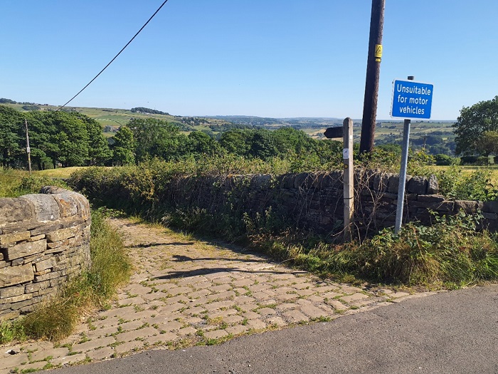 Calderdale Rights of Way survey
The Rights of Way network in Calderdale comprises nearly 1,400km of moorland, steep valleys, and urban areas. The fieldwork was completed in three months, using a team of five surveyors armed with rugged tablets using our CAMS Mobile app. Our surveyors collected information on every furniture item and every issue/problem and captured over 27,000 photos. This gave officers at Calderdale Council a complete picture of their public rights of way.
Rather than simply handing back static report files, Exegesis loaded all the information from the survey into our new cloud-based CAMS Pro solution. This provides powerful searching capabilities, interactive mapping and photos integrated via LibraryLink in an accessible, intuitive website interface. But CAMS Pro is more than just an interface for viewing the survey data; it also includes tools for prioritising the issues, assigning tasks to officers, and tracking the progress of issues through to completion. A wide range of reports can be run from the system, and the interactive map allows the information to be visualised in different ways. In addition, CAMS Pro facilitates engagement with the public by allowing Calderdale Council to easily publish their register of applications for Definitive Map Modification Orders & Public Path Orders. To help keep the data up to date when working in the field, we also provided Calderdale Council with CAMS Mobile for their own use as well, allowing offline edits to the data, and synchronising directly with their CAMS Pro system when signal is available.
This project provided Calderdale Council with a comprehensive, up to date dataset of their public rights of way, along with easy-to-use tools to enable them to manage the data and to get the most value from it.
Further information from Timothy Derbyshire